By Office of Public Affairs and Dr. Manzul Kumar Hazarika
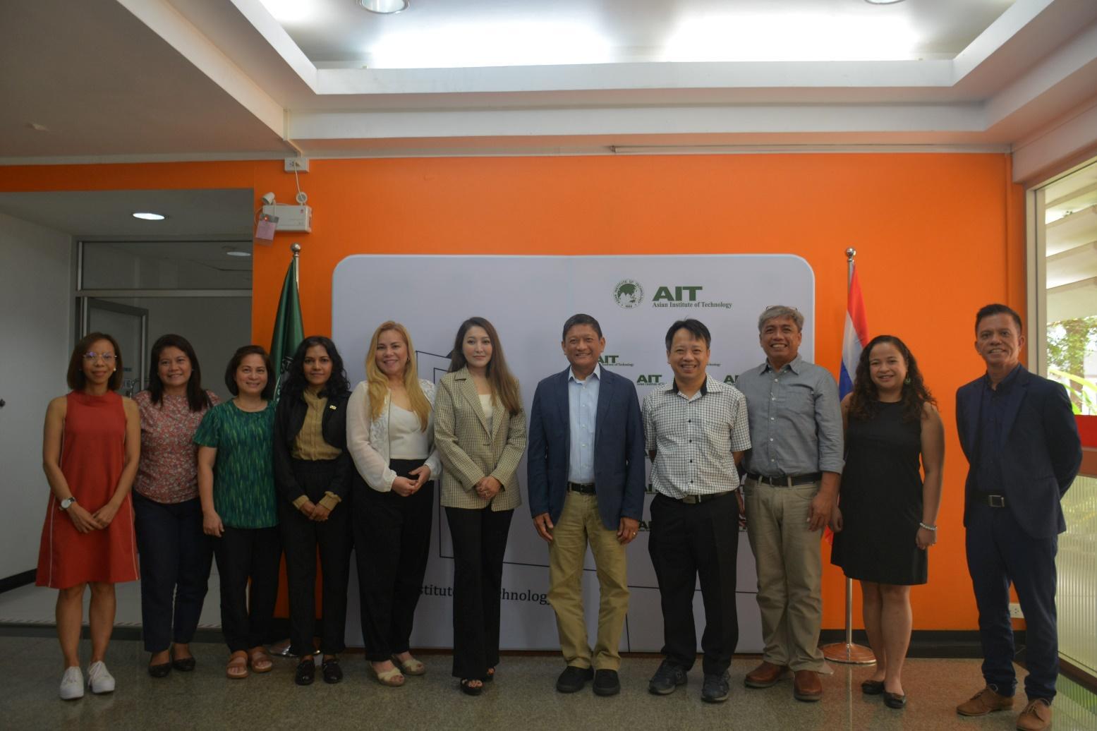
The Asian Institute of Technology (AIT), Thailand, signed an agreement with the United Nations Office for Outer Space Affairs (UNOOSA) to become a Regional Support Office of the United Nations Platform for Space-based Information for Disaster Management and Emergency Response (UN-SPIDER) programme.
Under this partnership agreement with the Asian Institute of Technology (AIT), the UN-SPIDER will join hands with the Geoinformatics Center (GIC) of the institute to (1) promote the use of space-based resources for disaster management and emergency response management, including storing, visualizing and sharing Earth Observation derived data and products; (2) conduct capacity building activities in Asia and the Pacific region for promoting the space-based information technology for disaster management and emergency management; and (3) share resources for activities of common interest, including dissemination of methods and results from Earth Observation derived data and products through printed and online publications.
AIT is an international institute of higher learning. It is Asia’s pioneer institution, established in 1959 to help meet the region’s growing needs for advanced learning in engineering, science, technology and management, research, and capacity building. AIT’s mission is to develop highly qualified and committed professionals who will play a leading role in the sustainable development of the region and its integration into the global economy.

The Geoinformatics Center (GIC) is a Center of the AIT, which will work with UN-SPIDER to implement activities under the RSO agreement. GIC focuses on research, consultancy services, and capacity-building activities in the Asian regions and provides knowledge and know-how to support the processes of planning and decision-making for sustainable development by integrating spatial information with other conventional methods and tools.
It has been designated as the regional hub for the Sentinel Asia initiative (called P-DAN, the Principal Data Analysis Node) for emergency mapping after a disaster in the Asian region. It is also regularly contributing to the International Charter for Space and Major Disasters as the Project Manager to coordinate emergency mapping efforts of catastrophic disasters in the region.
Also read at Office for Outer Space Affairs UN-SPIDER Knowledge Portal
—
About UN-SPIDER
In its resolution 61/110 of 14 December, 2006 the United Nations General Assembly agreed to establish the “United Nations Platform for Space-based Information for Disaster Management and Emergency Response – UN-SPIDER” as a new United Nations programme, with the following mission statement: “Ensure that all countries and international and regional organizations have access to and develop the capacity to use all types of space-based information to support the full disaster management cycle”.
Click for more details: www.un-spider.org
About Geoinformatics Center at AIT
The Geoinformatics Center (GIC) is a leading Center in Remote Sensing and GIS applications, and it offers solutions by integrating geospatial data with conventional data for better planning and informed decision-making. GIC’s areas of focus are (1) Disaster Management, (2) Agriculture, (3) Environment, and (4) Training. The Center is also actively involved in technology transfer and in-country capacity building in the above-mentioned areas through implementing projects, developing knowledge products, and conducting trainings and workshops. The Geoinformatics Center also maintains a good geospatial database of the region, which can be readily used for implementing projects, research, and capacity-building activities.